Home · Getting Around
Once you are here01
Six ways to move
On footOn foot
The Mall is two miles from the Capitol to the Lincoln Memorial, and most of the big museums face each other along it. Walking is the main way to see the center.
UndergroundMetro
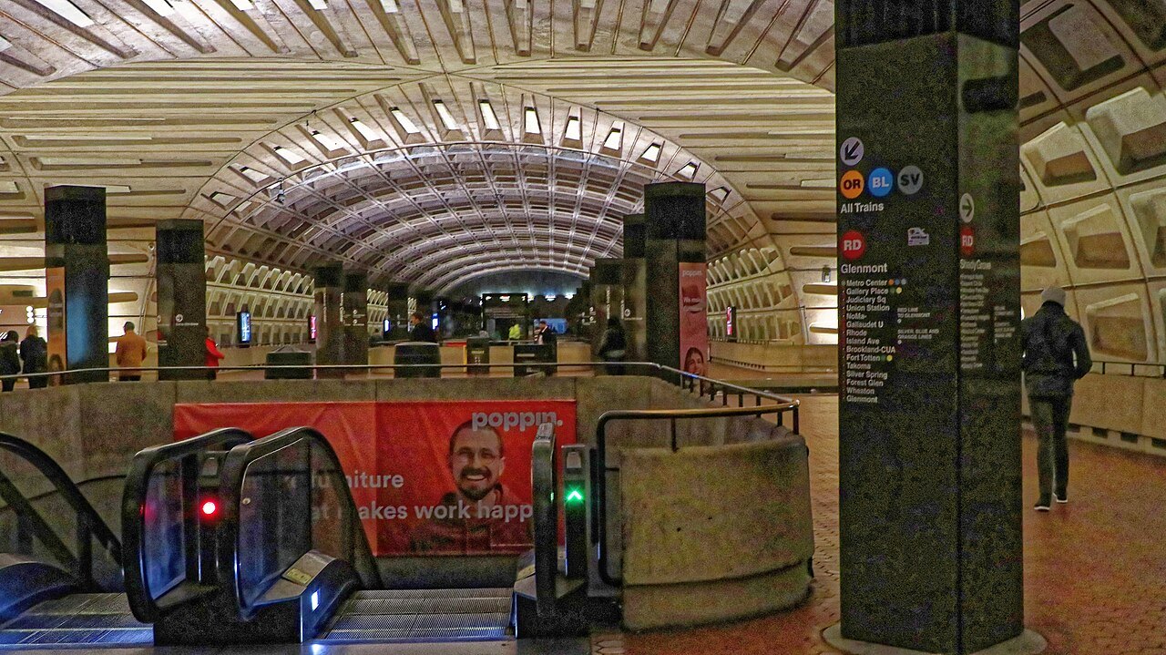
Six lines named by color and 98 stations across the District, Maryland and Virginia, mostly deep underground in the city, under Harry Weese's coffered vaults.
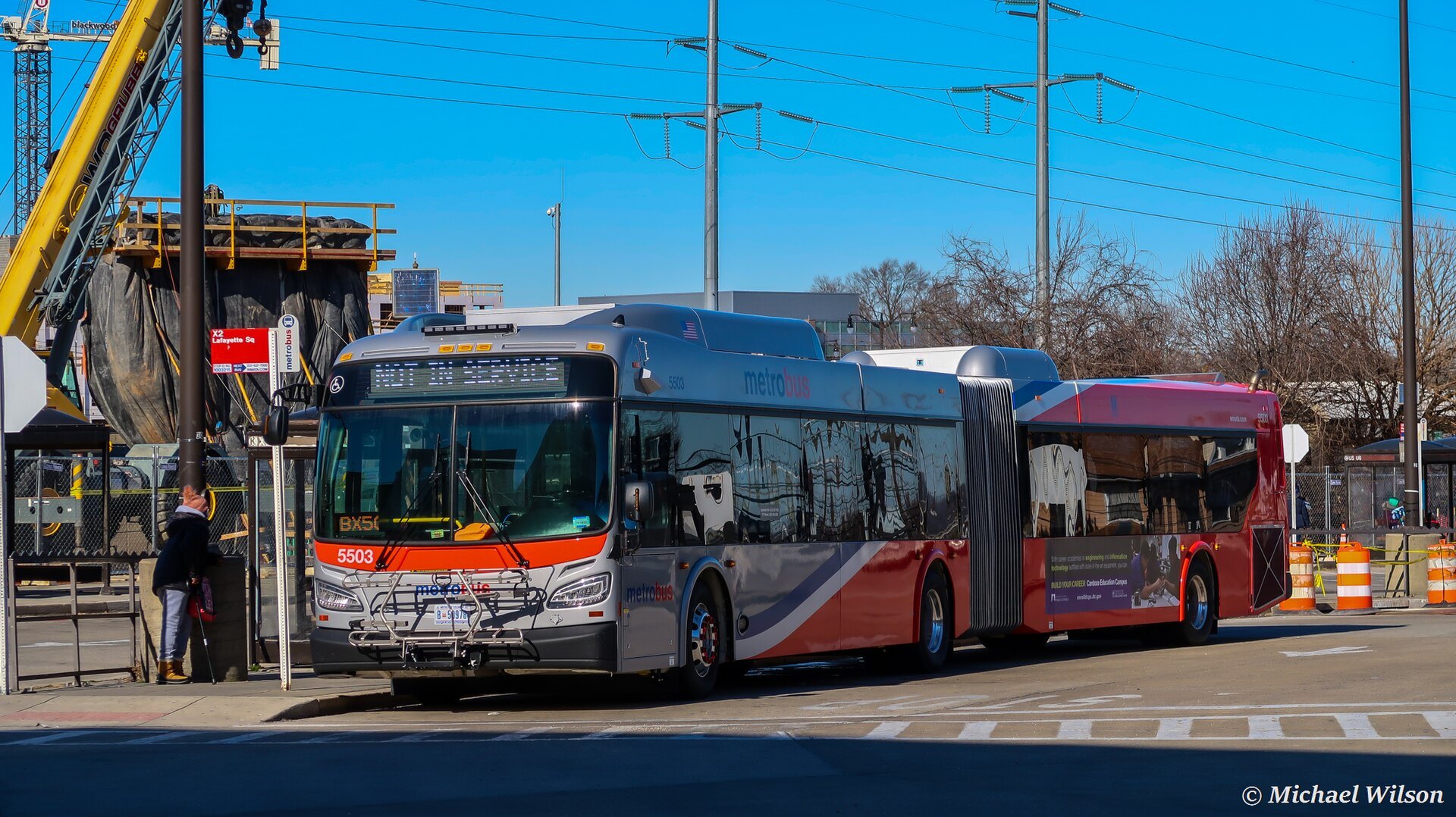
On the roadMetrobus
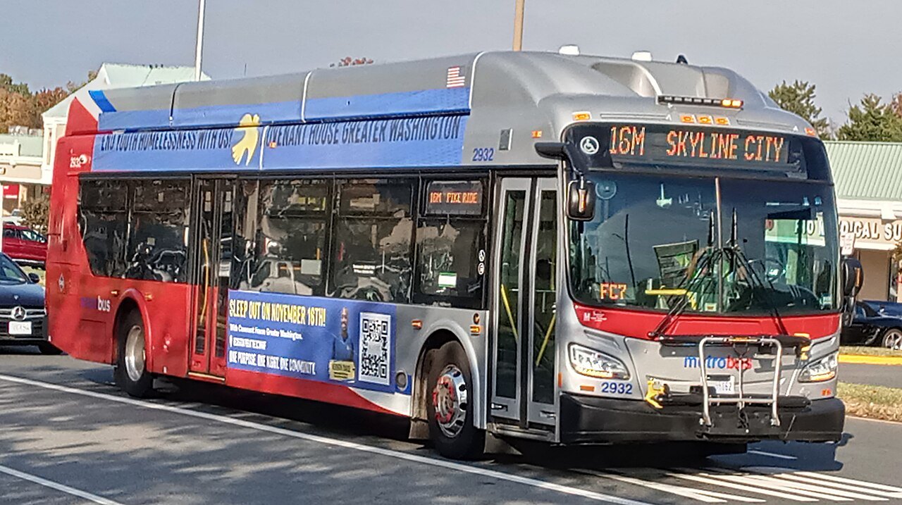
More than a hundred routes across the region, with the same card as the Metro and a flat fare on almost every route.
On two wheelsCapital Bikeshare
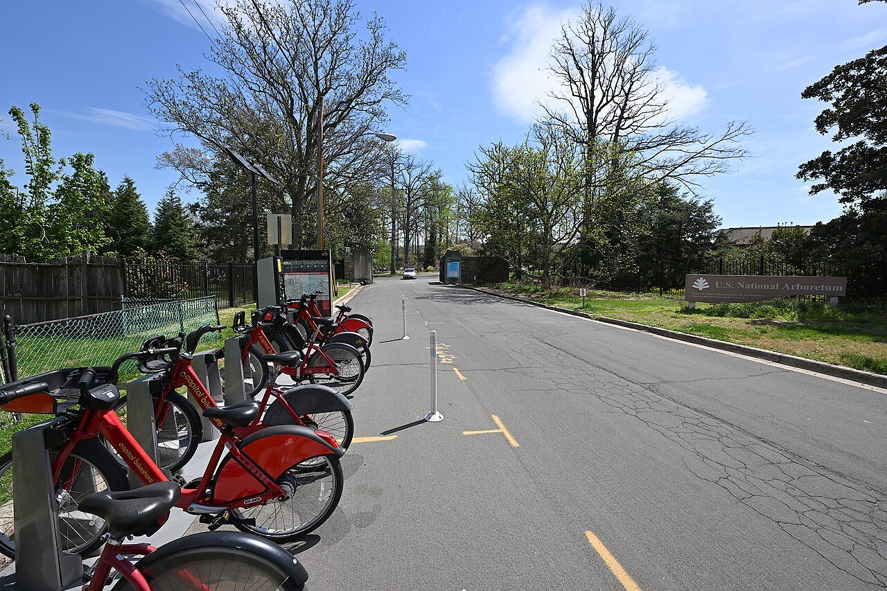
More than eight hundred docking stations and thousands of classic bikes and e-bikes, unlocked with an app or at a kiosk.
On the riverPotomac Water Taxi
Seasonal boats linking the Wharf with Georgetown, Old Town Alexandria and National Harbor, with views of the monuments from the river.
On the roadTaxis and ride-hail
Easy to find downtown, useful late at night or for the cathedral and the hills of Northwest, slow in rush-hour traffic.
In full02
Getting Around
A capital built for walking
The monumental core of Washington is compact. The National Mall runs about two miles from the Capitol to the Lincoln Memorial, the Smithsonian museums line it on both sides, and the White House, the Archives and the Portrait Gallery are a few blocks north. You can walk the whole of it in a day, and you will, because the Mall has no transit of its own down its middle, only stations along its edges.
For everything farther out, from Georgetown and the cathedral to Anacostia and the Wharf, the Metro and the buses do the work. A car is rarely worth having: parking is scarce, traffic is heavy, and the circles and diagonals of the old plan confuse newcomers (see the plan). If you drive in, leave the car and use transit.
Walking
Walking is the best way to understand the city, because its layout was designed to be seen on foot, with long avenues aimed at monuments. Street names follow a pattern that makes addresses easy to find: lettered streets run east and west, numbered streets north and south, the avenues named for states cut across diagonally, and every address carries its quadrant, NW, NE, SE or SW, measured from the Capitol.
The distances on the Mall are longer than they look, and the gravel paths are hot and shadeless in summer. Carry water, wear comfortable shoes, and plan your day by side of the Mall rather than crossing back and forth. Security screening at most museums and memorial buildings adds time to each stop.
The Metro
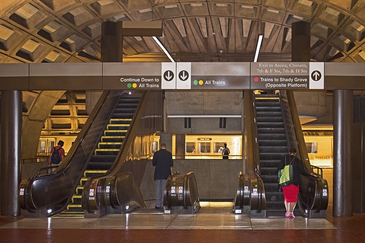
The Metro, formally Metrorail, opened in 1976 and has six lines, named by color: Red, Orange, Blue, Yellow, Green and Silver. Its 98 stations reach far into Maryland and Virginia, and in the city most of them are deep underground. Many of the early stations were designed by the Chicago architect Harry Weese, with great coffered concrete vaults inspired by the Pantheon in Rome, and long escalators down to the platforms; the station design was the only Brutalist entry on the American Institute of Architects' list of America's favorite architecture.
For visitors, the key stations are Smithsonian, on the Mall itself; Federal Triangle and Archives on the north side; L'Enfant Plaza on the south; Capitol South and Union Station for the Hill; and Foggy Bottom and Arlington Cemetery for the western end. Trains show their line color and final destination, which is how you tell direction. On the escalators, stand on the right and walk on the left.
Paying the fare
You pay the same way on trains and buses. Tap a SmarTrip card, SmarTrip in your phone's or watch's wallet, or a contactless credit or debit card at the faregates. On the Metro you must tap again when you leave, because the fare depends on the distance and the time of day; on the bus you tap once when you board.
SmarTrip cards are sold from machines in every station. Up to two small children ride free with each paying adult, older children need their own card, and older visitors and people with disabilities can apply for reduced fares. Transfers between buses, and between the bus and the train, are discounted within a set window when you use the same card. The fare tables change, so check the Metro's own site for current fares rather than any guidebook, this one included.
Buses
Metrobus runs more than a hundred routes across the region, many of them meeting the Metro stations. The fare is the same on nearly all of them wherever you ride, and the buses are the best way to reach places the trains miss, such as Georgetown, the cathedral and the upper stretches of Wisconsin Avenue. Route names begin with a letter for the area served, and the Metro's trip planner or any map app will tell you which to take.
Older guidebooks mention the DC Circulator, the red visitor buses that ran between the sights and the popular neighborhoods. The Circulator stopped running at the end of 2024, and the city's streetcar line on H Street no longer runs either, so plan around the Metro and Metrobus instead.
Crowds and timing
The Metro is a commuter system first, and it is at its most crowded on weekday mornings and late afternoons, when the suburbs pour into the center and out again; fares are higher then too. Sightseeing is easier between the rush hours and at weekends. On big days on the Mall, such as the Fourth of July, the cherry blossom weekends and major marathons, the stations nearest the Mall fill up and some entrances can close for crowd control, so walk a station or two farther out. Service is less frequent late at night and during weekend track work, when lines can be cut back or buses replace trains; the Metro posts planned work on its site in advance, and it is worth a look before a weekend visit.
Bikes and the river
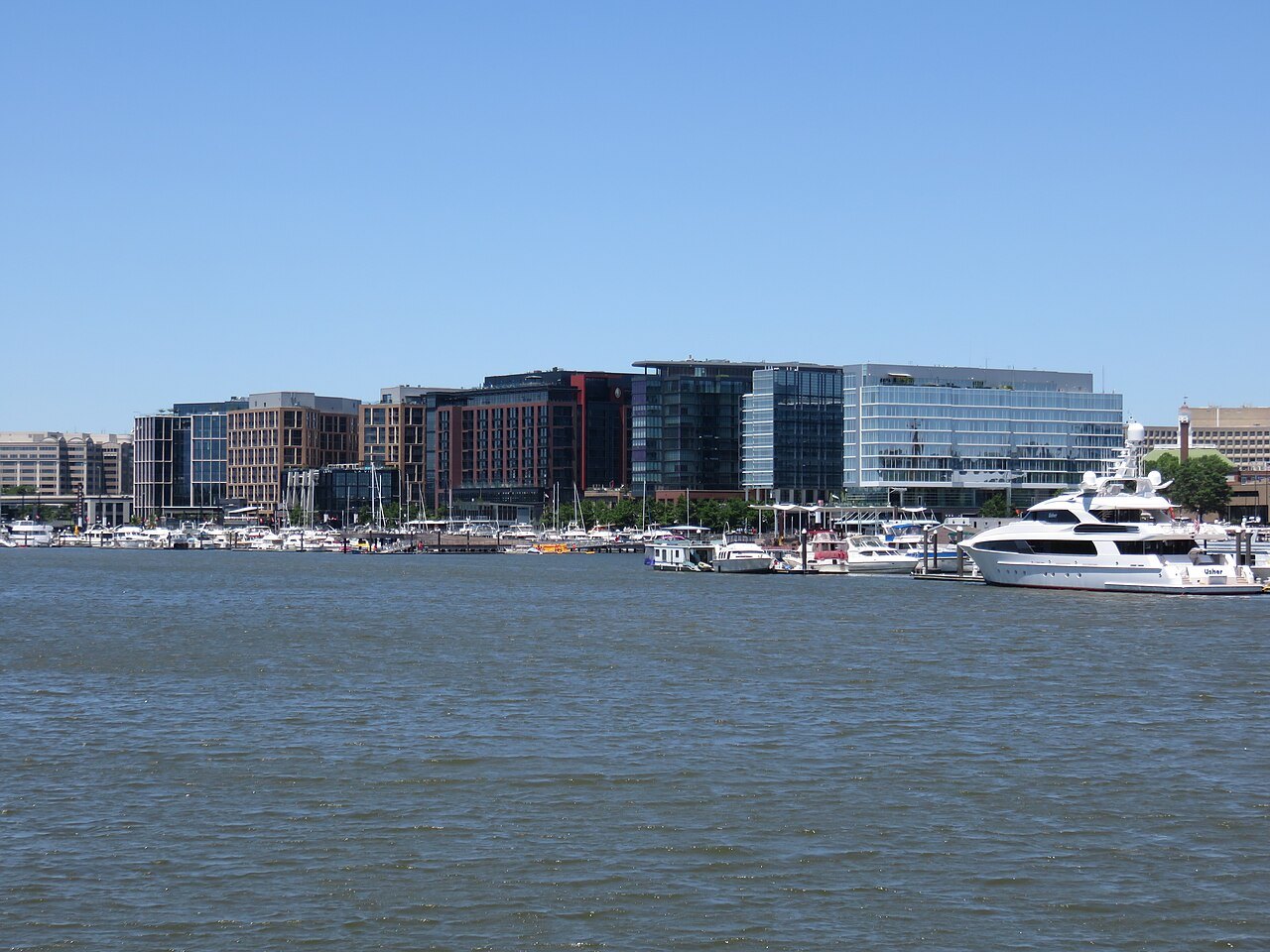
Capital Bikeshare, launched in 2010, has more than eight hundred docking stations and thousands of bikes across the region, including e-bikes. Unlock one with the Capital Bikeshare or Lyft app, or buy a single ride at a station kiosk, and return it to any dock. The Mall, the paths along the Potomac and the Rock Creek trail are pleasant riding, but downtown traffic is heavy: use the bike lanes, ride with the traffic, and keep off the sidewalks.
The Potomac Water Taxi runs from the Transit Pier at the Wharf to Georgetown, Old Town Alexandria and National Harbor, with the monuments along the way. It is a sightseeing ride as much as transport, and it runs in the warmer part of the year, so check the operator's schedule and passes before planning around it. Note that the Georgetown dock is not wheelchair accessible.
Taxis, ride-hail and accessibility
Taxis and ride-hail cars are easy to find in the center and useful late in the evening, for the hills of upper Northwest or for luggage. In rush hour they are slow, and the Metro is usually faster across town.
Every Metro station has elevators, and since the early 2000s the Metro has been adding second elevators so that a single breakdown does not cut a station off. Elevators do still go out of service, so check the Metro's elevator status before you travel if you depend on them, and ask about MetroAccess, the paratransit service, if you live in the region. Many of the memorials are reached by level paths, and the Park Service and the museums publish accessibility details on their own pages (see booking ahead).
Seen on the way03
More photographs
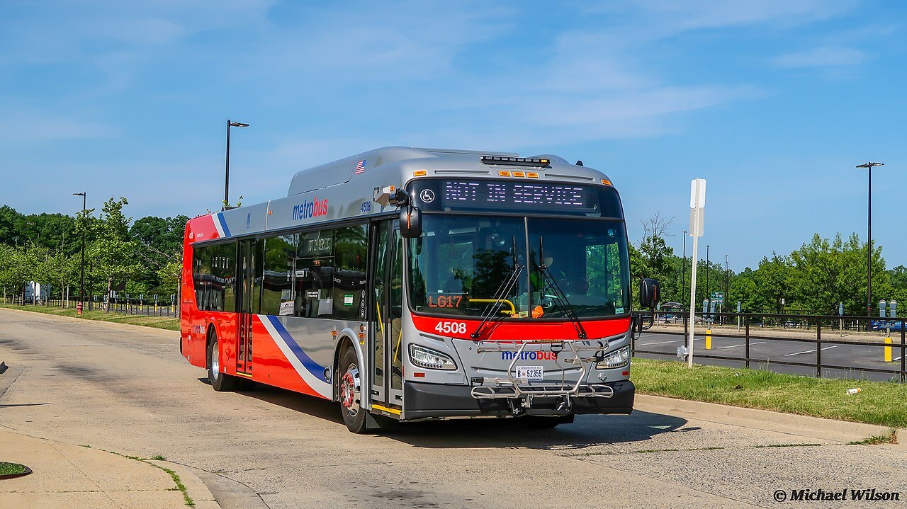
A Metrobus waiting at the end of its routeMJW15, Wikimedia Commons, CC BY-SA 4.0 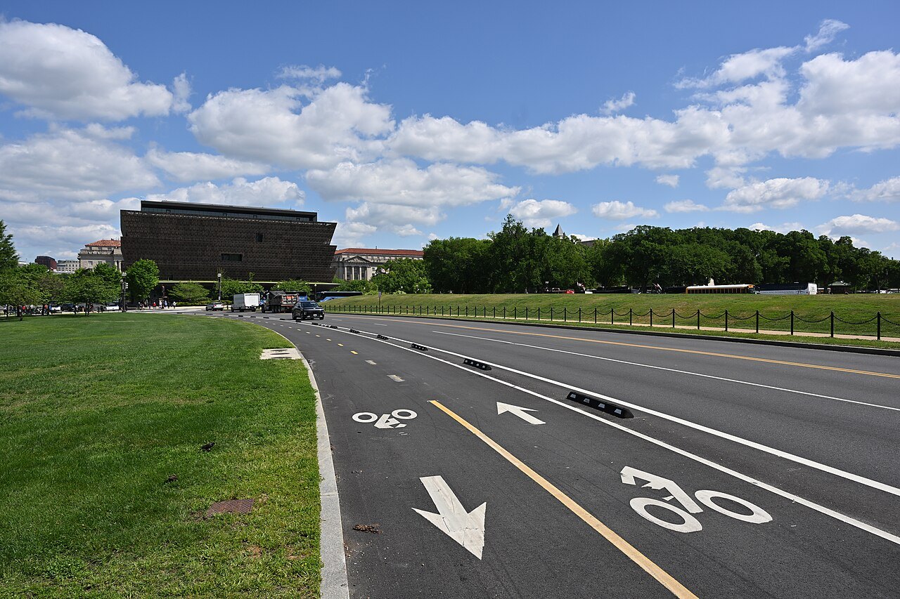
Painted bike lanes on 15th Street by the Mall, the African American History museum behindG. Edward Johnson, Wikimedia Commons, CC BY 4.0 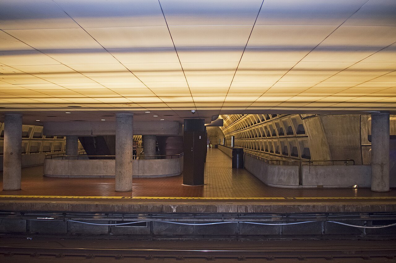
The Red Line platform at Gallery Place under the concrete vaultYmblanter, Wikimedia Commons, CC BY-SA 4.0