Home · The Plan
Before you walk01
Six rules of the plan
- The Capitol is the centerThe city's four quadrants, NW, NE, SE and SW, meet at the Capitol, and every address carries one. The same number can exist in all four, so never drop the quadrant.
- Letters run east and westLettered streets run east and west, counting away from the Capitol, and numbered streets run north and south. There is no J Street, and I Street is often written Eye Street.
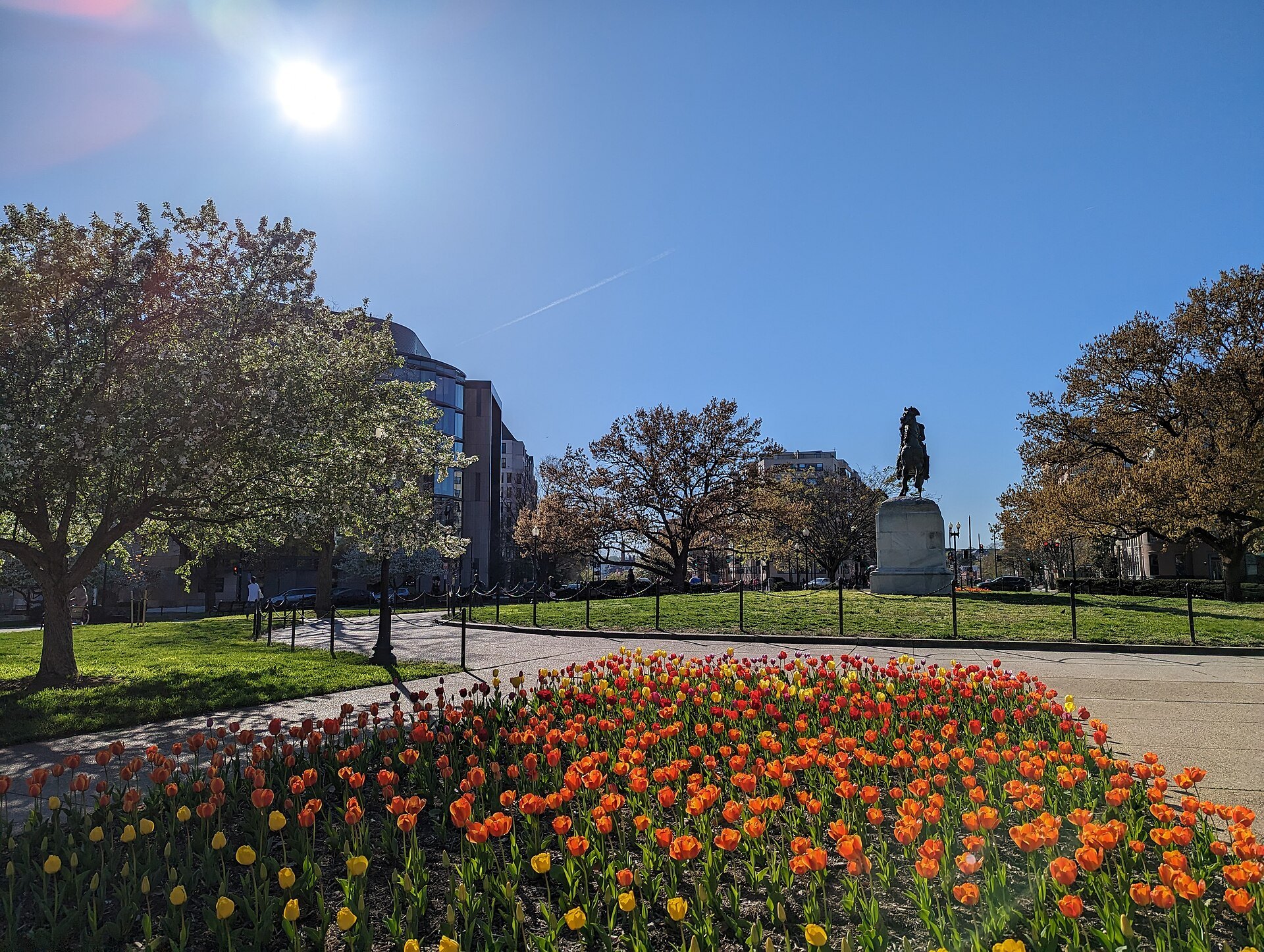
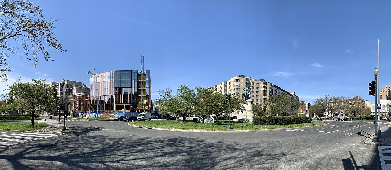
- Avenues are named for statesThe diagonal avenues cutting across the grid carry the names of the states, and they meet at circles and squares named for notable Americans.
- The Mall is the axisThe Mall runs west from the Capitol to the Lincoln Memorial, crossed at the Washington Monument by a second axis from the White House to the Jefferson Memorial.
- Nothing overtops the monumentsA federal law of 1910 keeps buildings low, tied to the width of the street they face, which is why the skyline is flat and the dome and obelisk stand clear.
- Some of the city is older than the planGeorgetown was a town before the capital existed, and its streets follow their own, older pattern.
In full02
The Plan
Why a page about a plan
Most cities grew and were mapped afterwards. Washington was designed first, on paper, as the seat of a new government, and much of what visitors find strange or wonderful about it comes straight from that design: the long views to monuments, the diagonal avenues, the traffic circles, the low skyline and the quadrant letters on every street sign. Once you know a few rules, the city reads like a map, and you can tell where you are from an address alone.
The plan also explains the capital's politics of space. It put the legislature and the president at the two ends of an avenue, facing each other at a distance, and it gave the nation a great public ground, the Mall, which has been the stage for inaugurations, celebrations and marches ever since (see the Mall).
None of this means the city was built as drawn. For its first decades Washington was a scattering of buildings in fields and mud, with the Capitol unfinished and the avenues little more than tracks, and foreign visitors mocked its empty grandeur. The plan outlived its critics because every generation that built here, from the Civil War to the New Deal, chose to fill it in rather than replace it.
A capital on the Potomac
The Constitution allowed Congress a federal district of up to ten miles square. The Residence Act of 1790 placed it on the Potomac, and George Washington chose the site, a diamond of land straddling the river that took in the small ports of Georgetown and Alexandria. In 1791 and 1792 a team led by Andrew Ellicott, including the free African American astronomer Benjamin Banneker, surveyed its borders and set boundary stones at every mile; many of them are still standing. The Virginia side of the diamond was returned to Virginia in 1846, which is why the District's shape today is a diamond with a bite taken out by the river.
L'Enfant's design
In 1791 Washington appointed Pierre Charles L'Enfant, a French-born engineer who had served on his staff at Valley Forge, to design the federal city. L'Enfant placed the Congress House on Jenkins Hill, now Capitol Hill, and the President's House on a ridge to the northwest, and joined them with a broad diagonal avenue, Pennsylvania Avenue. West from the Capitol he drew a garden-lined grand avenue about four hundred feet wide with a public walk, the origin of the Mall, and where the lines from the Capitol and the President's House met, he planned an equestrian statue of Washington.
Over a grid of ordinary streets he laid broad diagonal avenues, later named for the states, meeting at circles and squares meant to honor notable Americans and to open out the city with parks and views; each of the fifteen states of the time was offered a square to build on and decorate. His plan even included a canal past the Capitol and the President's House. It was grand and costly, and L'Enfant was difficult: he quarreled with the commissioners and refused to hand over his plan for engraving, and in 1792 Washington dismissed him. Ellicott revised the plan and had it published, and the city was built on it, slowly, over the century that followed.
The McMillan Plan
By 1900 the Mall had become a Victorian park of winding paths, with a railroad station and tracks across it. In 1901 and 1902 the Senate Park Commission, known as the McMillan Commission, with Daniel Burnham, Charles McKim, Frederick Law Olmsted Jr. and Augustus Saint-Gaudens, proposed restoring and extending L'Enfant's idea. Their plan cleared the Mall into a broad open lawn lined with low classical museums, set memorials at the ends of the two axes and moved the railroad to a new station north of the Capitol, which became Union Station.
It was never formally adopted, but it was built piece by piece over the following decades: the Lincoln Memorial at the west end of the main axis, the Jefferson Memorial at the south end of the cross axis, and the reflecting pools and museums between. The Mall you walk today is the McMillan version of L'Enfant's idea.
The low skyline
Washington has no skyscrapers, and the reason is a law. The Height of Buildings Act of 1910 limits buildings along commercial streets to the width of the street they face plus a margin, up to a fixed maximum, and lower on residential streets. A popular belief says nothing may be taller than the Capitol; the real rule is tied to the streets, but its effect is the same, a flat city of buildings of similar height from which the dome, the obelisk and a few spires stand clear. The towers you see on the horizon beyond the river are in Virginia, outside the law's reach.
Reading an address
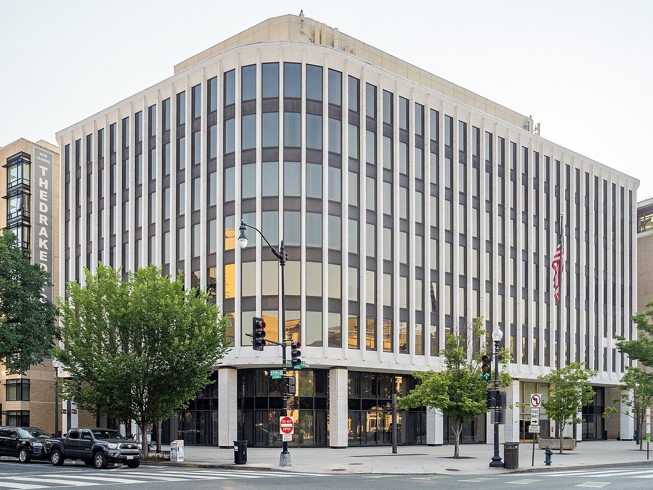
Every street address has a quadrant, and the Capitol is where the four quadrants meet. North Capitol, East Capitol and South Capitol Streets mark three of the dividing lines, and the Mall itself serves as the western one. Lettered streets count outward from the Capitol, north and south: A, B, C and on, skipping J; beyond W, the names switch to words of two syllables in alphabetical order, then three. North of the Mall, B Street became Constitution Avenue and south of it, Independence Avenue.
Numbered streets count outward east and west. House numbers roughly follow the blocks, so an address at 1600 is around sixteen blocks from the dividing line. That is why 1600 Pennsylvania Avenue NW, the White House, lies near 16th Street, and why a place on 8th Street SE and one on 8th Street NE are on opposite sides of East Capitol Street. When you look up a place, check the quadrant first.
Where the plan shows best
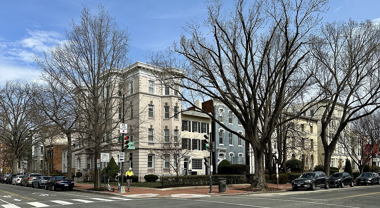
Stand on the west front of the Capitol and look down the Mall to the Washington Monument and the Lincoln Memorial beyond; that is the plan's great axis. Stand at the monument and look north to the White House and south to the Jefferson Memorial; that is the cross axis. The monument is slightly off the crossing, because the ground at the planned point was too soft, and a small marker called the Jefferson Pier stands where L'Enfant's lines meet. Then walk out along Massachusetts or Pennsylvania Avenue to see how the diagonals open onto circles and squares (see neighborhoods).
Seen on the way03
More photographs
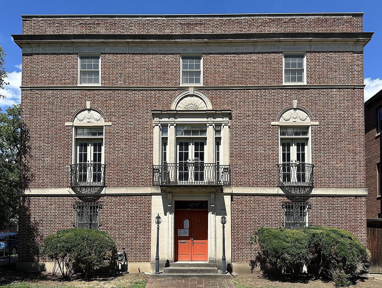
A Georgian Revival brick house on Massachusetts Avenue, Embassy RowAPK, Wikimedia Commons, CC BY 4.0 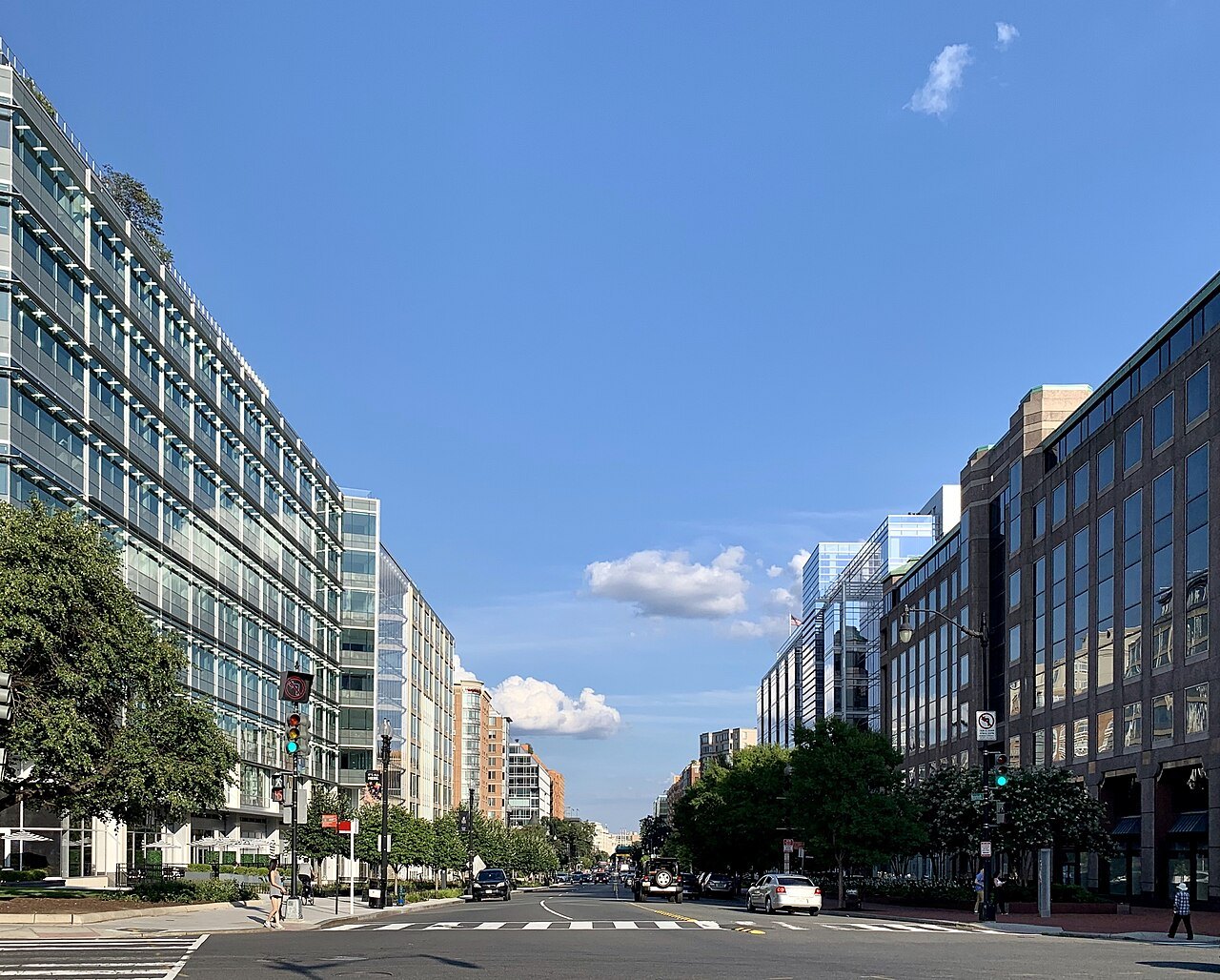
Massachusetts Avenue NW running northwest from 7th StreetAPK, Wikimedia Commons, CC BY-SA 4.0 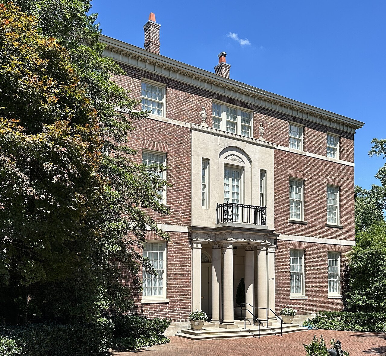
A Georgian brick house on Massachusetts Avenue NW, on Embassy RowAPK, Wikimedia Commons, CC BY 4.0