Home · Sights · Georgetown and the C&O Canal
What you are looking at01
Georgetown and the C&O Canal
M St · Wisconsin Ave NW
- The Chesapeake and Ohio CanalThe canal and its towpath, running west from Georgetown between M Street and the river.
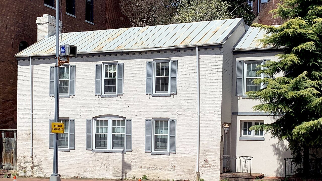
- The Old Stone HouseA house of 1765 on M Street, one of the oldest standing buildings in the city, kept by the Park Service.
- M Street and Wisconsin AvenueThe two shopping streets whose crossing is the neighborhood's busy center.
- The waterfrontWashington Harbour and the riverside below K Street, with views to the Kennedy Center and across to Rosslyn.
- Georgetown UniversityFounded in 1789, its Healy Hall spire standing on the hill above the Potomac.
- Dumbarton OaksA Harvard-owned estate with terraced gardens by Beatrix Farrand and a museum of Byzantine and Pre-Columbian art.
- The Exorcist stepsA steep stone stair linking M Street to Prospect Street, made famous by a film.
The sight in full02
Reading the place
Why it matters
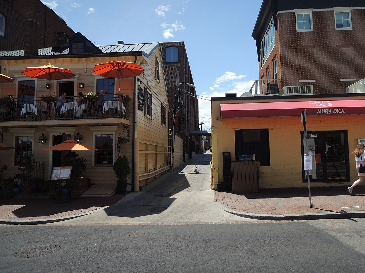
Georgetown is older than Washington. It was founded in 1751 by the legislature of colonial Maryland, on land bought from George Gordon and George Beall, at the head of navigation on the Potomac, the farthest point upstream that ocean-going boats could reach. It was a tobacco port with an inspection house, warehouses and wharves, and it stayed an independent town inside the District until Congress merged the governments in 1871; in 1895 its streets were renamed to match Washington's.
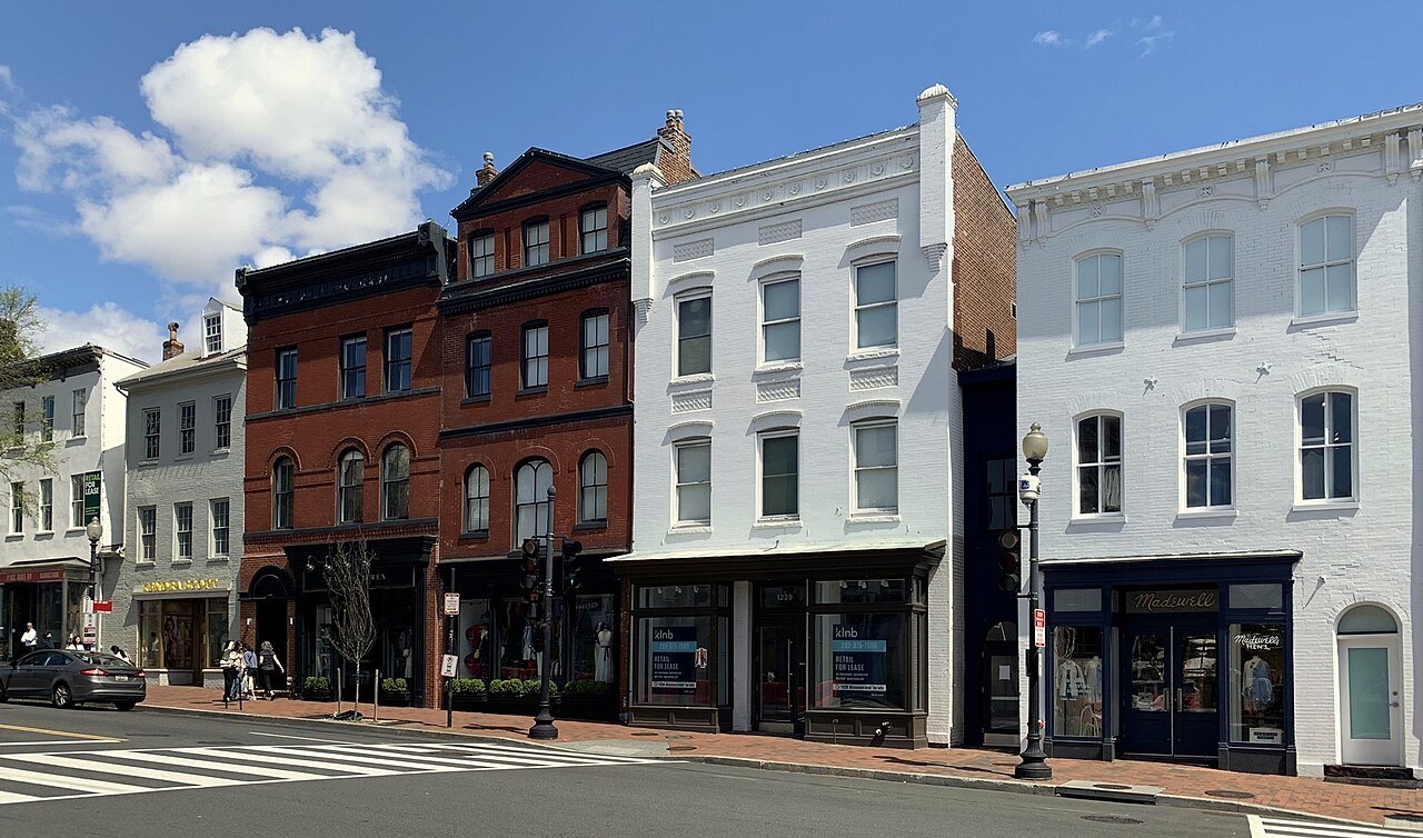
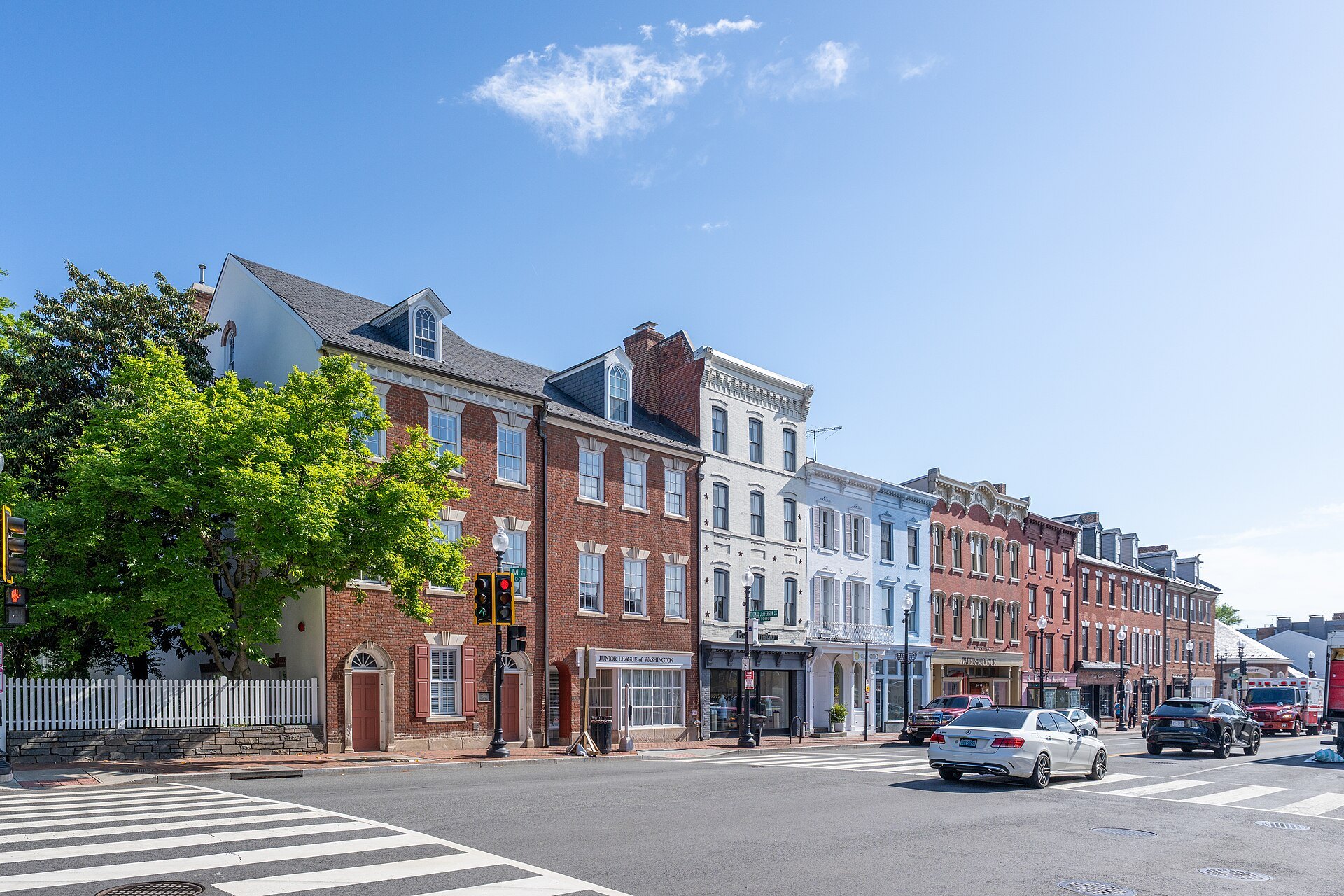
That is why it does not look like the rest of the city. Georgetown's grid is its own, older and tighter than L'Enfant's, with no diagonal avenues and no circles (see the plan). Its streets climb from the river on the hills of the fall line, lined with Federal and Victorian brick rowhouses. Since 1950 the Old Georgetown historic district has required the Commission of Fine Arts to review changes to buildings, which is much of the reason it looks the way it does.
The canal
Between M Street and the river runs the Chesapeake and Ohio Canal. Construction began in 1828, meant to link Georgetown with the Ohio River; it got as far as Cumberland, Maryland, about 185 miles upstream, in 1850, eight years after the railroad that would outcompete it had arrived there. For a time it carried coal and flour to Georgetown, and its water powered the mills along the waterfront. It was battered by floods, ceased operations in 1924 and was sold to the National Park Service in 1938.
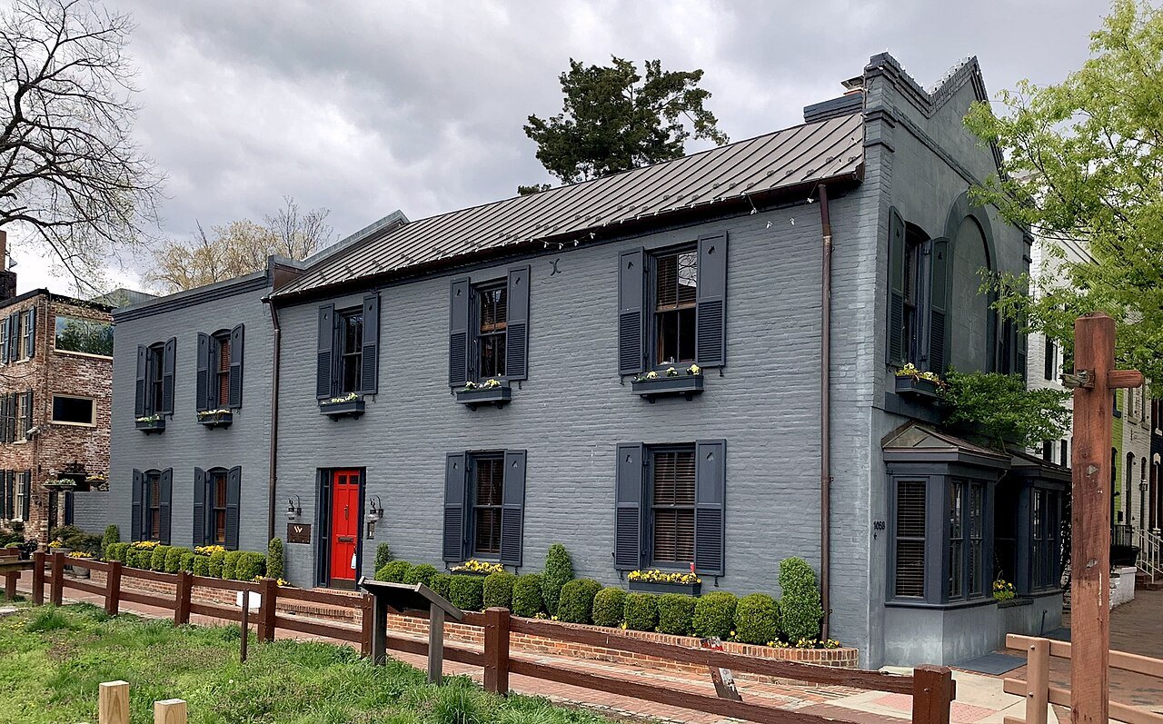
Today it is the Chesapeake and Ohio Canal National Historical Park, and the old towpath is a level trail for walkers, runners and cyclists. In Georgetown the canal runs at the level of the streets, crossed by small bridges, with locks and old warehouses along it; a walk west along the towpath quickly leaves the town behind. Park Service programs on the canal change by season, so check the park's own pages for boat rides and events.
The Old Stone House and the streets
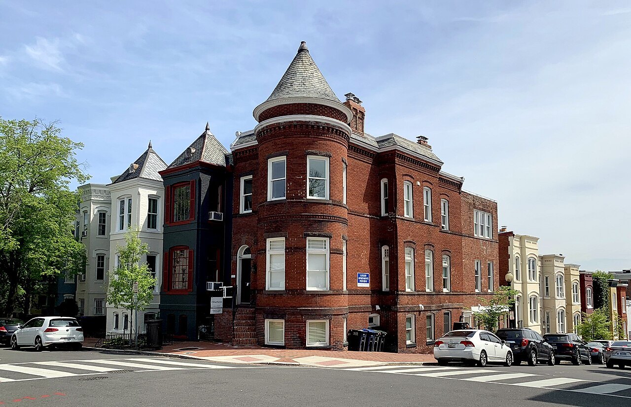
The Old Stone House at 3051 M Street was built in 1765, and it is among the oldest standing buildings in Washington. After the National Park Service acquired and restored it in the 1950s, it became a small house museum with a garden behind, the one pre-Revolutionary house most visitors can simply walk into.
M Street and Wisconsin Avenue, which cross just up from the canal, are Georgetown's commercial spine, with shops, bars and restaurants and the Georgetown Park mall. The quieter pleasures are the residential streets north of M: N, Prospect, Dumbarton and Q Streets, with their rowhouses, gardens and doorways. At the west end of M Street, a steep stone stair runs up to Prospect Street, made necessary by the hills and made famous by the film The Exorcist.
The waterfront and the university
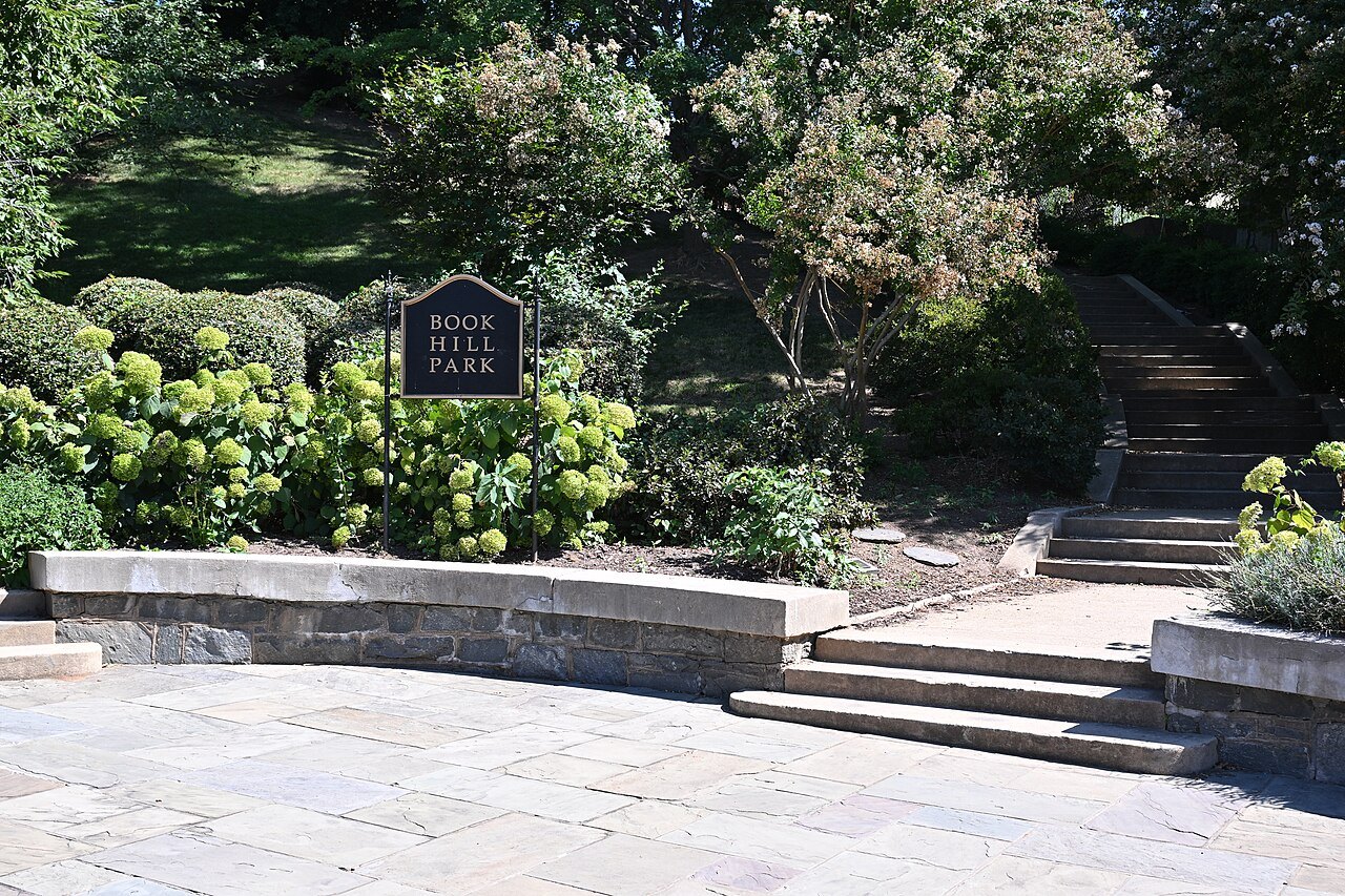
Below K Street, under the elevated Whitehurst Freeway, is the waterfront. Washington Harbour on K Street, between 30th and 31st Streets, has restaurants and outdoor bars popular for watching boat races, and the riverside path runs east toward the Kennedy Center and the Mall. Across the Potomac, over Key Bridge, lies Rosslyn, in Virginia (see day trips).
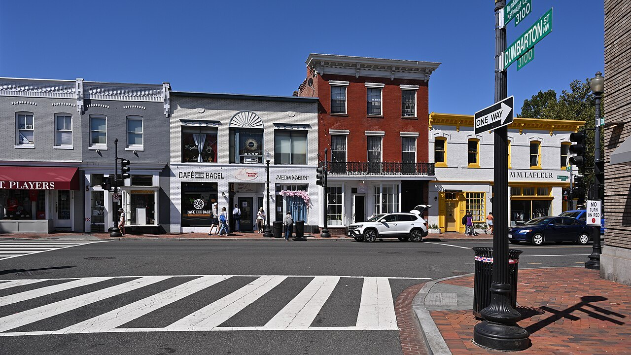
On the hill at the west end stands Georgetown University, founded by John Carroll in 1789, the oldest Catholic institution of higher education in the United States. Its landmark is Healy Hall, with its tall spire visible from the river.
Dumbarton Oaks and the heights
At the top of the hill, on R Street, is Dumbarton Oaks, the estate of the diplomat Robert Woods Bliss and Mildred Barnes Bliss, who gave the house to Harvard University in 1940. Beatrix Farrand, working with Mildred Bliss, designed its terraced gardens, which step down the hillside through a series of outdoor rooms. The museum holds Byzantine and Pre-Columbian collections, and in 1944 the house hosted the conference that drew up plans for the United Nations. The gardens and the museum each set their own seasons and entry rules, so check before you go.
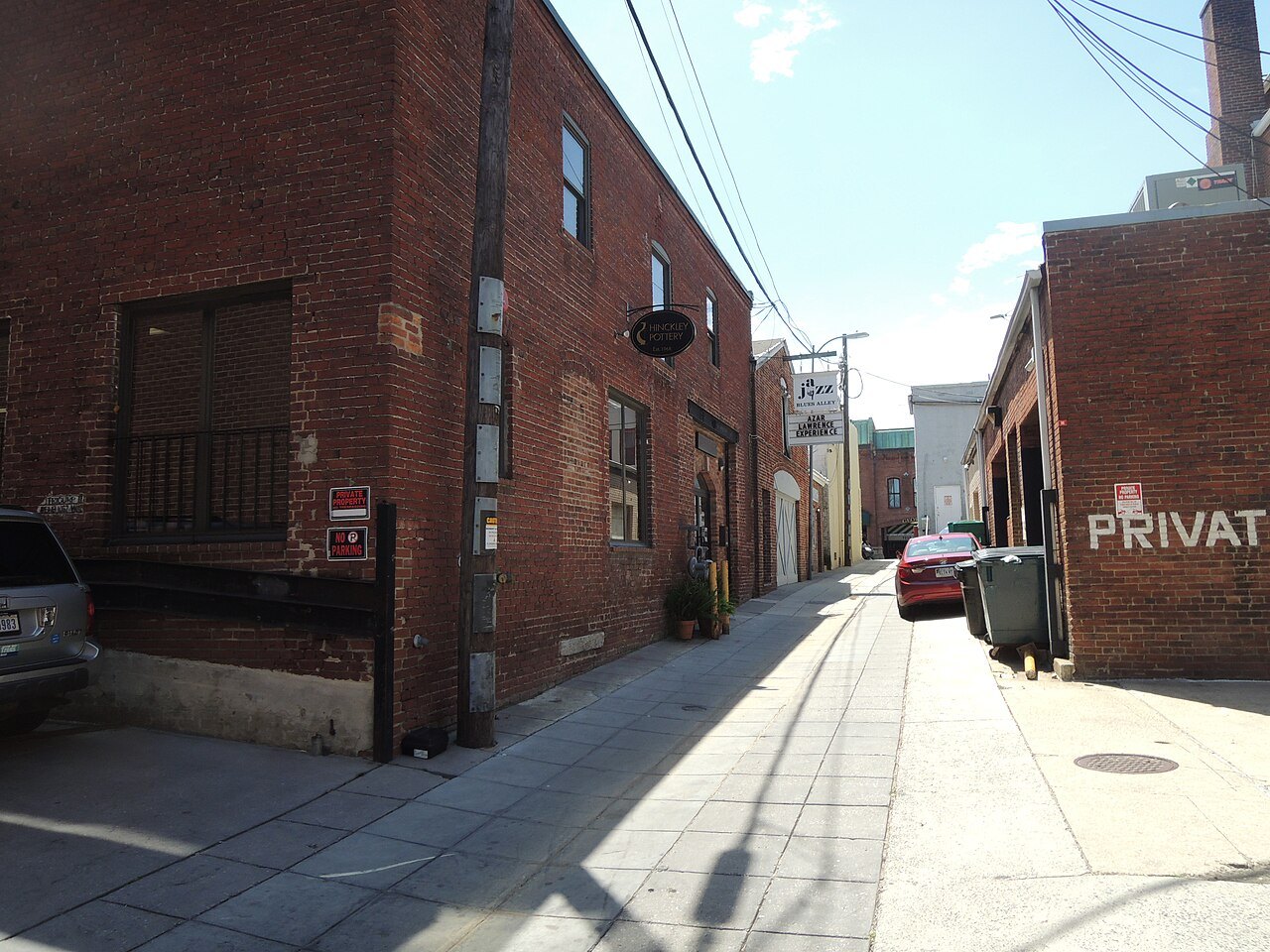
Around it are Montrose Park, Oak Hill Cemetery with its Gothic Revival chapel by James Renwick, Tudor Place, and Dumbarton Oaks Park, the wilder lower part of the old estate, which the Blisses gave to the Park Service.
How to visit
Georgetown has no Metro station of its own, which surprises many visitors. The nearest stations, Foggy Bottom and Rosslyn across the river, are a walk away, and buses run along M Street and Wisconsin Avenue (see getting around). Walking from the Lincoln Memorial along the river, or from Dupont Circle across the Rock Creek bridges, is a pleasure in good weather.
Give it a half day. A good loop runs down Wisconsin Avenue to the canal, along the towpath, down to the waterfront, back up M Street to the Old Stone House, then up through the residential streets to Dumbarton Oaks. The streets are steep and the brick sidewalks uneven, so wear sensible shoes.
Honest notes
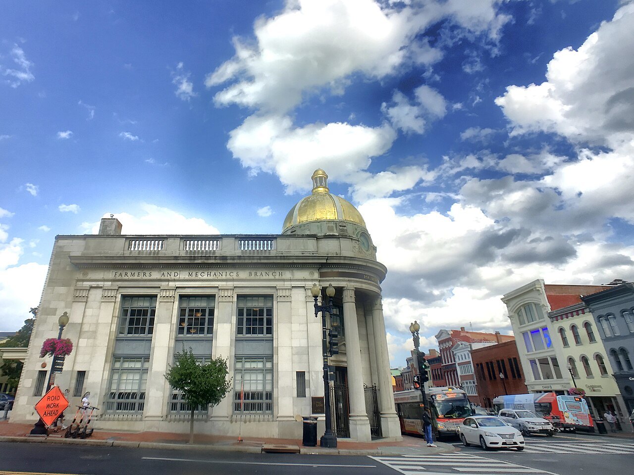
M Street on a weekend is crowded, and much of it is familiar chain shopping; the character is in the side streets and on the towpath. Georgetown is lived in, and its rowhouses are private homes, so admire them from the sidewalk. Parts of the waterfront can flood when the Potomac is high. And the name misleads: the town was probably named for King George II, or for its two founders called George, not for George Washington, although he often came to its taverns to negotiate the land deals for the new capital.
Where to go next03
Nearby
- Nearby · Wisconsin Ave · Massachusetts Ave NWWashington National CathedralA Gothic cathedral built stone by stone in Indiana limestone from 1907 to 1990 on the highest ground in the city, paid for entirely by private gifts, with a tower you can see from across the District.Read the page →
- Nearby · West end of the Mall · 23rd StThe Lincoln Memorial and the Reflecting PoolHenry Bacon's Greek temple of 1922 at the west end of the Mall, Daniel Chester French's Lincoln seated inside, and in front of them a pool more than two thousand feet long that doubles the Washington Monument.Read the page →
- Nearby · 1600 Pennsylvania Ave NWThe White House and Lafayette SquareThe house James Hoban designed in 1792, home to every president since John Adams in 1800, burned in 1814 and rebuilt inside its walls in the 1950s, seen best from the square to its north and the Ellipse to its south.Read the page →