SIX COLORS, ONE TAP IN, ONE TAP OUT01
How does the Washington Metro work for visitors?
The Metro has six colored lines, 98 stations and fares that depend on distance and time of day, so you tap in and tap out. How to pay, find the right platform, change lines and reach the sights, the airports and Union Station.
The answer in full02
Read on
The short answer
The Metro, formally Metrorail, is the regional subway: six lines named by color, Red, Orange, Blue, Yellow, Green and Silver, with 98 stations in the District, Maryland and Virginia. You pay by tapping a SmarTrip card, SmarTrip on your phone or watch, or a contactless bank card at the faregates, and you must tap again when you leave, because the fare depends on how far you ride and when.
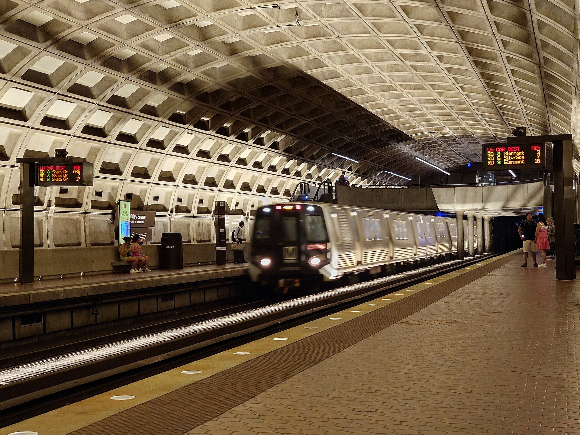
For a visitor, it is the fastest way between the Mall, the neighborhoods, Union Station and two of the three airports. Once you know how to tell the direction of a train and where to change lines, it is simple.
Some links on this page are affiliate links. If you book through one we may earn a commission, at no extra cost to you. It does not affect what is recommended here, and no sight page on this site carries one.
Somewhere to leave a suitcase between check-out and a late flight.
Paying
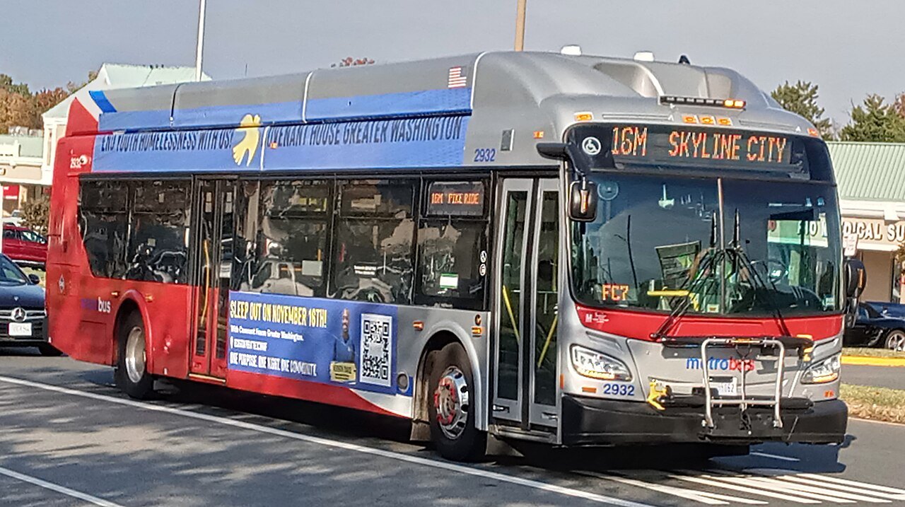
There are three ways to pay, and all of them work on the buses too. A SmarTrip card is a reloadable card sold from machines in every station; SmarTrip can also be added to the wallet on a phone or watch; and you can simply tap a contactless credit or debit card, with no need to register. Tapping a bank card is full fare only, so anyone entitled to a reduced fare should use SmarTrip.
Tap at the faregate when you enter and again when you exit; the fare is worked out then and taken from your card. Fares vary with the distance and the time of day, and are lower at night and at weekends, and they change from time to time, so check the Metro's own fare page rather than any guidebook. Up to two children aged four and under ride free with each paying adult; older children need their own card.
Finding the station and the train
Station entrances are marked by a tall brown pylon with a large M at the top, with colored stripes showing which lines stop there. Many entrances lead down long escalators: in the city most stations are deep underground, and at a few the ride takes a minute or more. Stand on the right and walk on the left.
Inside, follow the signs to the platform for your line. In some stations the two directions share one platform, and in others they are on separate platforms, so check before you go down. Trains are identified by line color and final destination, which is how you tell the direction: to go from the Mall toward Virginia on the Blue Line, for instance, you look for a Blue train to its Virginia end. Electronic signs on the platform show the next trains and how many minutes away they are, and the edge lights along the platform flash as a train approaches.
The stations you will use
Smithsonian station opens onto the Mall itself, between the museums. On the north side, Federal Triangle and Archives serve the museums along Constitution Avenue and Penn Quarter; on the south, L'Enfant Plaza is a major interchange a short walk from the Air and Space Museum and the Wharf. Capitol South and Union Station serve Capitol Hill; Foggy Bottom serves the western memorials and the Kennedy Center; Gallery Place serves the Portrait Gallery and Chinatown; and Metro Center is the main interchange downtown.
Further out, Dupont Circle, Woodley Park and Cleveland Park on the Red Line serve the northwest neighborhoods and the zoo, Anacostia on the Green Line serves Frederick Douglass's house, and Arlington Cemetery and King Street, across the river, serve the Virginia day trips (see day trips).
Changing lines
Changing lines inside a station costs nothing extra: follow the signs to the other line's platform. The main interchanges downtown are Metro Center, Gallery Place and L'Enfant Plaza, where several lines cross on different levels. The Orange, Blue and Silver Lines share much of their route through the center, so between those three you can often take whichever train comes first.
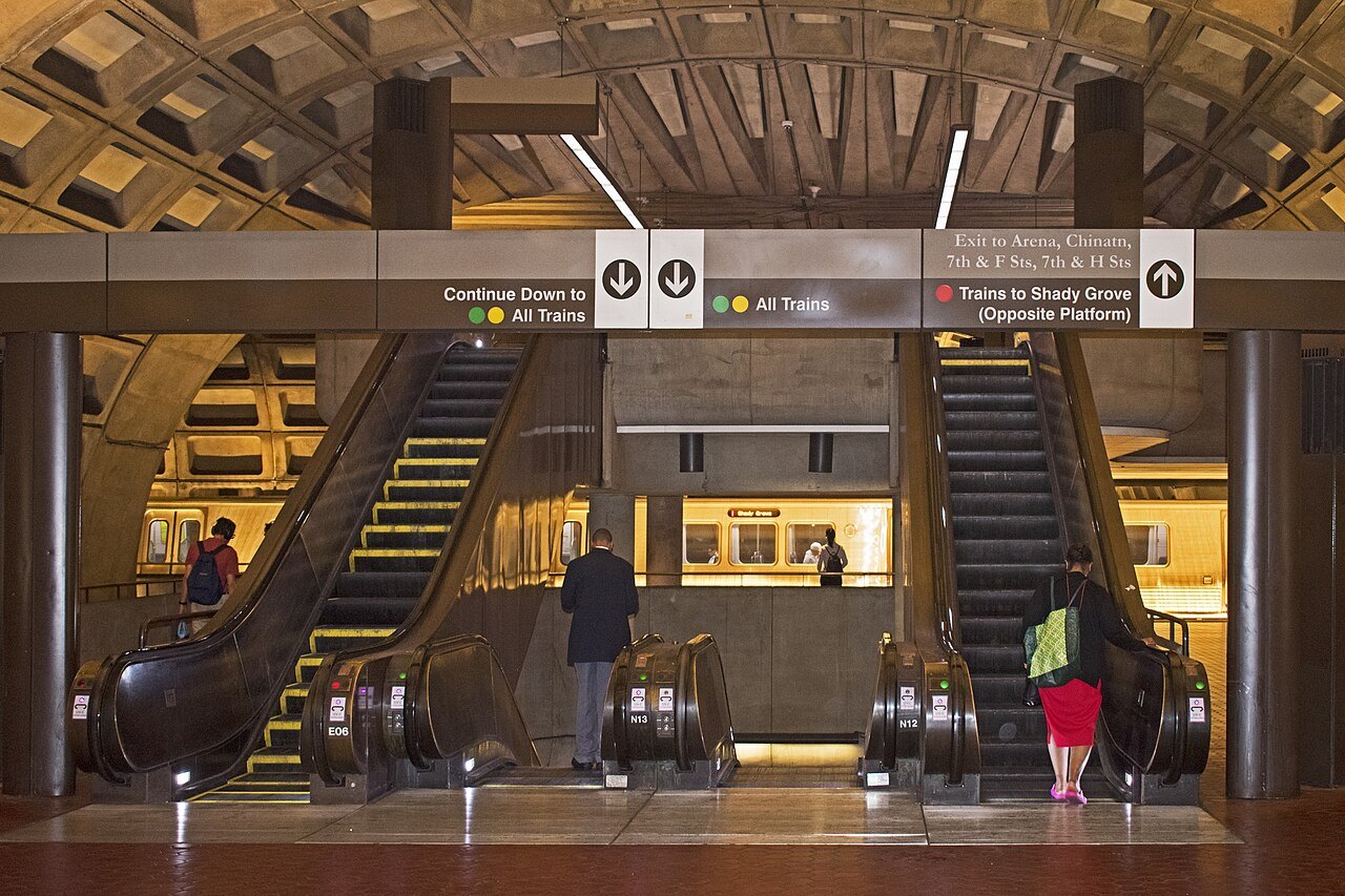
There is one oddity worth knowing. Farragut North, on the Red Line, and Farragut West, on the others, are separate stations a block apart. If you tap out at one and in at the other within the time allowed, the Metro counts it as one trip, so you can make the change on foot.
Airports and trains
Reagan National has its own station on the Blue and Yellow Lines, a covered walk from the terminals, and the Yellow Line crosses the river straight into the city. Dulles has been on the Silver Line since November 2022, a long ride but with no change needed for downtown. BWI is not on the Metro; its rail station has MARC and Amtrak trains to Union Station, which is itself a Red Line stop (see getting here).
A first ride, step by step
Say you are staying near Dupont Circle and want the Smithsonian. Walk into Dupont Circle station, tap your card or phone at the gate, and ride the long escalator down. Dupont Circle is on the Red Line only, and Smithsonian is on the Orange, Blue and Silver Lines, so you will change once, at Metro Center, two stops away in the direction of the Red Line's eastern end.
At Metro Center, follow the signs down to the lower level for the Orange, Blue and Silver platform, and take any train heading toward the Virginia ends of those lines. Smithsonian is the second stop. Tap out at the gate, follow the exit signs for the Mall, and you come up on the grass between the museums. The whole trip takes about a quarter of an hour, with no second fare for the change of line.
Good to know
The Metro is a commuter system first, crowded on weekday mornings and late afternoons, when fares are highest; sightseeing is easier between the rush hours. Weekend track work can close stations or cut lines back, with buses replacing trains, and the Metro posts it ahead on its site. Every station has elevators for anyone who needs them, and bicycles are welcome on the trains, with racks for two on the front of every bus. Eating and drinking are not allowed in the system, so finish your coffee before the faregates.
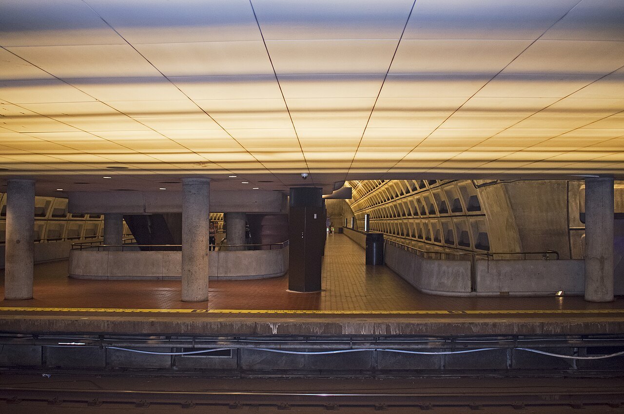
Take a moment to look up. Many of the older stations, designed by Harry Weese, have great coffered concrete vaults lit softly from below, inspired by the Pantheon in Rome; they are among the most striking public spaces in the city, and you walk through them for the price of a ride.
Read next03
More from the journal
- The White House and Lafayette SquareHow do you get a White House tour?Public tours of the White House are free, self-guided and arranged only through a member of Congress, up to six months ahead, with a background check for older visitors. How the request works, what you see, and what to do if you cannot get one.Read the piece →
- The Tidal Basin and the Jefferson MemorialWhen do the cherry blossoms peak in Washington?Peak bloom at the Tidal Basin usually falls between the last week of March and the first week of April, but it has come as early as mid-March and as late as mid-April. What peak bloom means, how the Park Service forecasts it, and how to plan a trip around a date nobody knows in advance.Read the piece →
- The Washington MonumentWhy is the Washington Monument two colors?About a third of the way up, the Washington Monument changes shade. The line marks where building stopped in 1854 and started again in 1879, and the stone above it came from different quarries. How it happened and where to see it best.Read the piece →